
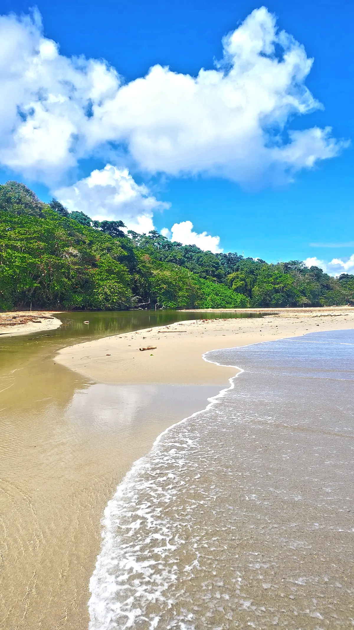
Costa Rica / Puerto Viejo / Best time to visit
Puerto Viejo · When to go
Best time to visitPuerto Viejo
There is no single dry season. There are two shorter lulls, and rain is possible in any month.
Two short lulls, not a dry season
Pick the window that suits the rest of your trip, then plan for showers.
Pick a trip, then a month
Choose what you want and the best months light up. Tap any month for the detail.
I want
Caribbean rain, relative to the rest of the year
Pacific coast, for two-coast trips
Read it as a table
| Months | What the averages show | Good for | Keep in mind |
|---|---|---|---|
| December–January | The rainiest stretch of the year, driven by cold fronts. | Pairing a dry Pacific week with a flexible Caribbean one. | The most likely time for long wet spells. |
| February–March | The second relative lull. | Beach, swimming and snorkelling days, and the best overlap with the Pacific dry period. | A lull, not a guarantee: showers still happen. |
| April | A transition: the new rainy period begins. | Flexible plans and shoulder timing. | Variable from year to year. |
| May–August | A rainy period with its second peak in July. | Food, cacao and culture days where weather matters less. | Plan outdoor hours for clear windows and expect wet trails. |
| September–October | The first relative lull. The Pacific is in its second rainy period. | The most dependable window for beach and reef days, and for a Caribbean-only trip. | Rain is still possible: this is a rainy-climate coast. |
| November | Rain picks up as the cold fronts begin. | Easing into the wetter spell, with time to plan around it. | Rainfall climbs through the month. |
Three wet stretches, two lulls
The national meteorological institute (IMN) describes two rainy periods interrupted by relative minimums.
Long-term averages from 1961 to 1990; individual years differ. La Niña years tend to be drier and El Niño years normal or wetter, and the most extreme rain events cluster at the turn of the year. Roughly 2,500 to 3,000 mm falls in the southern Caribbean in a year, less than in the northern Caribbean.
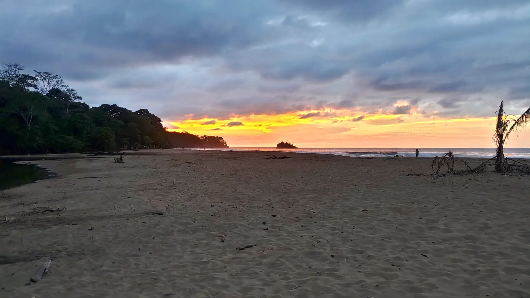
Pairing the Caribbean with the Pacific
The two coasts follow different calendars, so timing a trip across both is a choice of overlap.
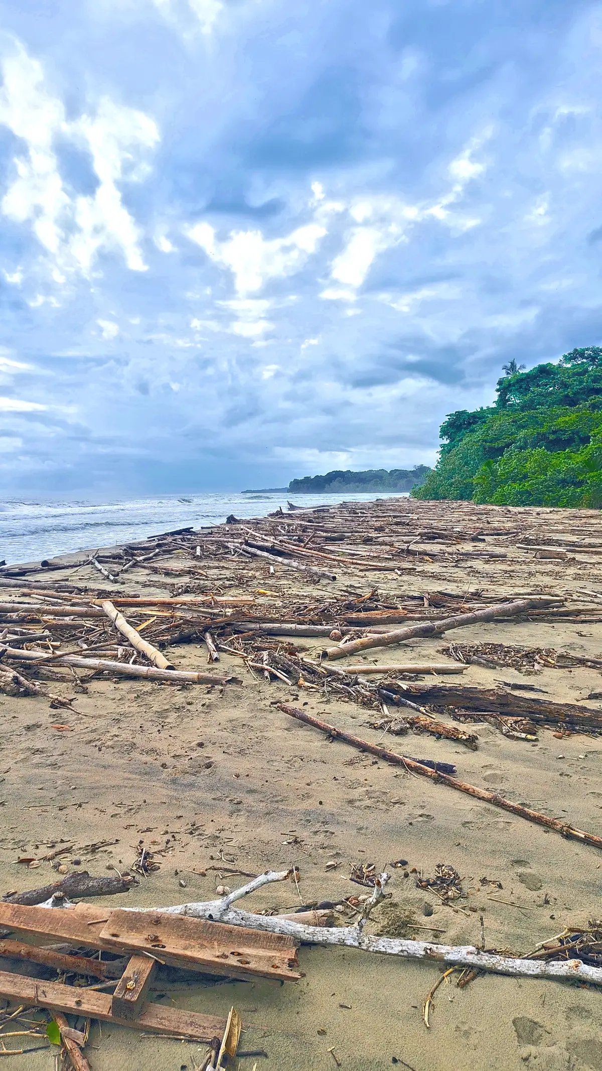 Driftwood along the high-tide line, Playa Cocles
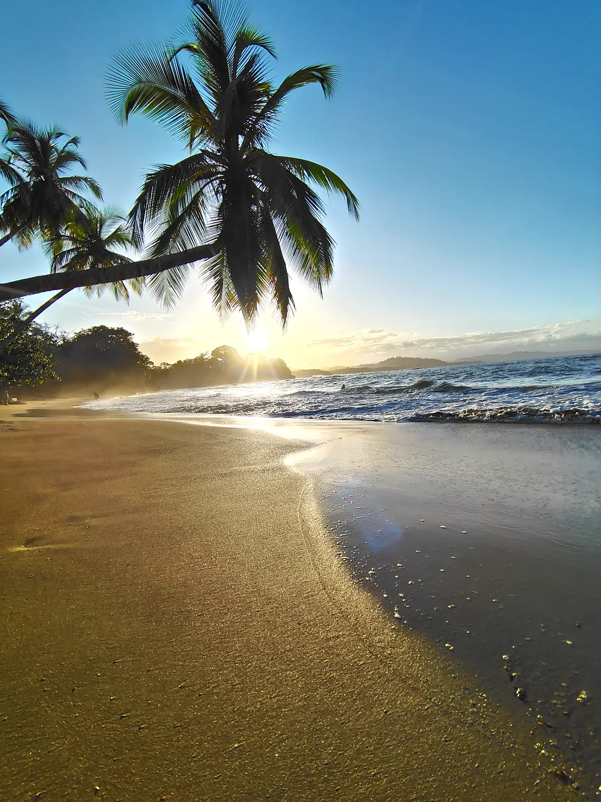 Clear morning at Punta Uva
For wet afternoons, cacao farms and cooking matter less when the weather turns, and the three-day itinerary is built to move around it.
Where to next?
Sources. Instituto Meteorológico Nacional (IMN) climate summaries: Región Caribe, Pacífico Central and Pacífico Sur (1961–1990 baseline). Averages describe the long-term pattern, not a forecast. The month-by-month rain level is a relative reading of that description. Photographs are credited on Photography credits.