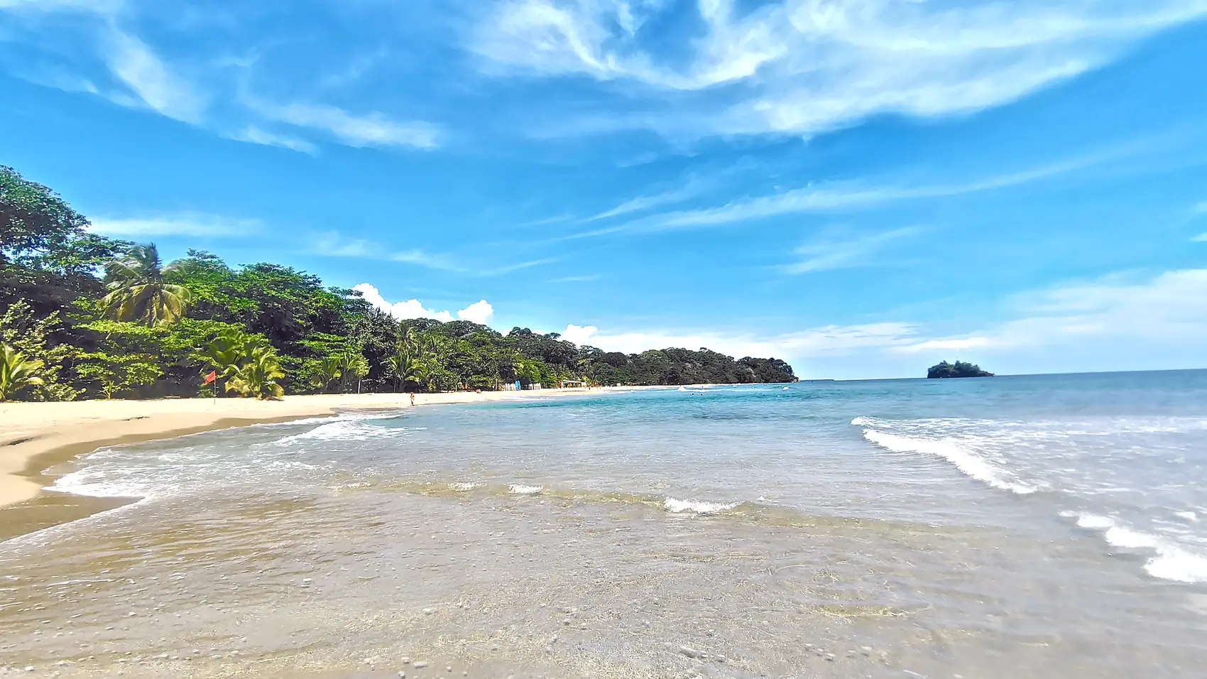
Aerial view of a rocky islet with palms off Playa Cocles on the Caribbean coast, with a forested beach behind it

Costa Rica / Puerto Viejo / Beaches

Puerto Viejo · Caribbean coast

Which beachis yours?

Five beaches on one coast road. Tell us what you want from the day.

5beaches12 kmtown to Manzanillo20 minby local bus to the far end
I want

Where they are

Five beaches, one coast road

Tap a beach to jump to it. Distances are approximate: guides disagree by a kilometre or two.

  1. Puerto Viejo town

By bike: the coast road is flat; Punta Uva is about 30–40 minutes.By local bus: town to Manzanillo in about 20 minutes, several a day.

The beaches

North to south

Choose what you want above and the beaches re-rank themselves.

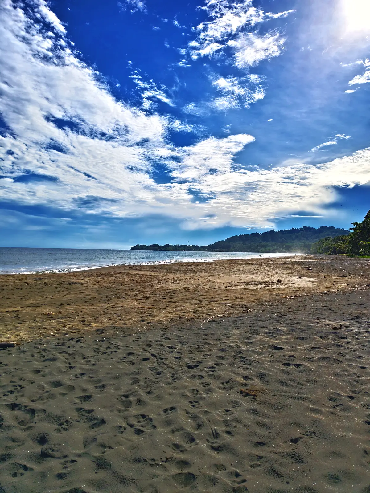
Dark sand and a bright sky at Playa Negra01Top pick

1–1.5 km north of town

Playa Negra

Dark sand a walk from town. Easy and long, but no lifeguards.

Distance
1–1.5 km N
Water
Gradual, variable
Lifeguards
None listed
Getting there & what to know
  • Walk or cycle north from the centre. Roadside parking is easy.
  • Currents can be stronger in the rainy season. Swim where others are swimming.
  • Not to be confused with Cahuita’s own Playa Negra, 17 km north.
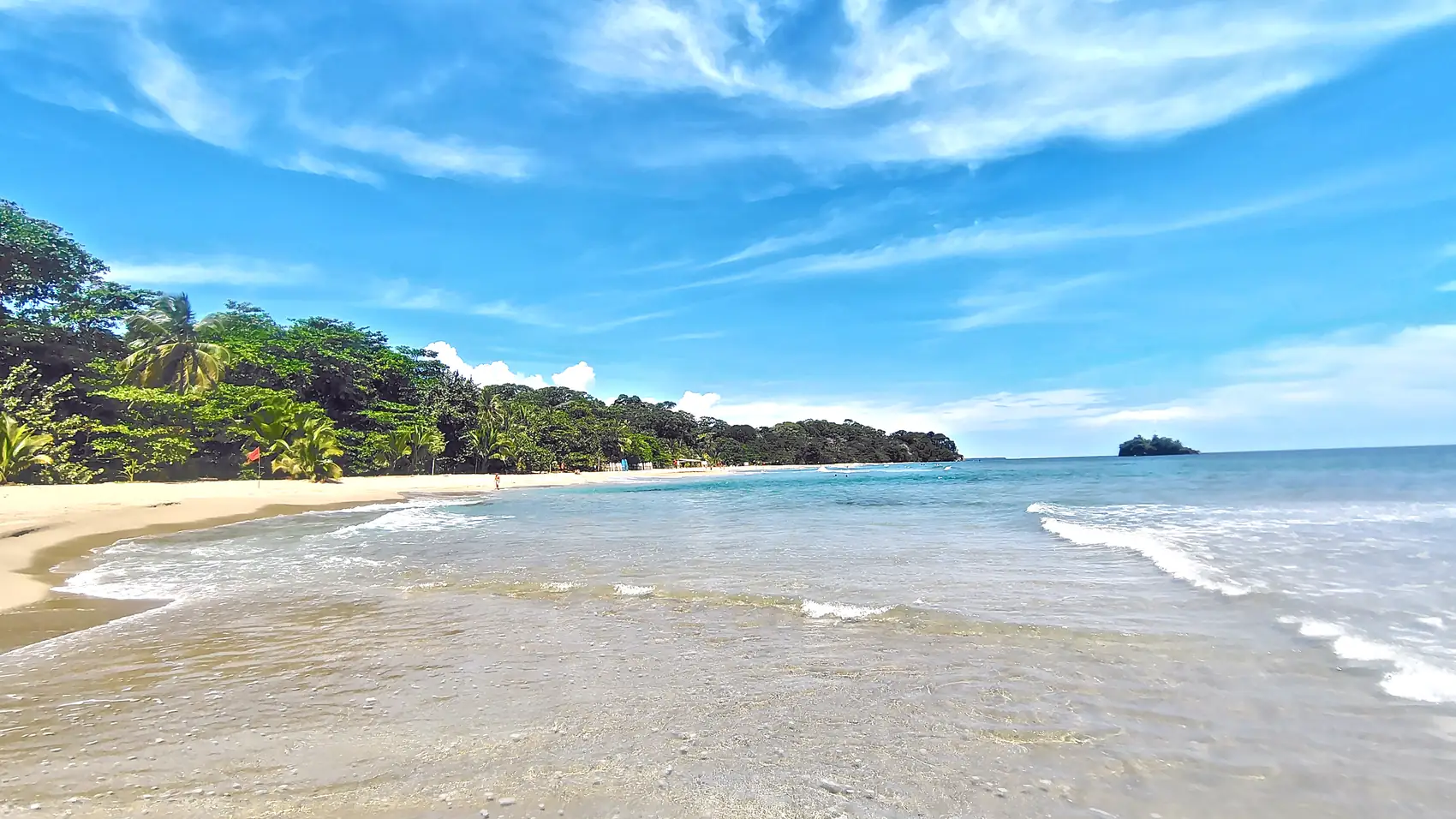
A long beach with a small rocky island offshore at Playa Cocles02Top pick

2–4 km south of town

Playa Cocles

The surf beach: long, open and lively, with strong currents.

Distance
2–4 km S
Water
Surf, strong currents
Lifeguards
Assigned; hours vary
Getting there & what to know
  • A few minutes by bike on the flat coast road. Several parking areas.
  • Salsa Brava, the reef break in town, is a heavy wave for experts only.
  • Red Cross lifeguards are assigned here under an agreement with the tourism board. Hours and flags change: ask first.
  • Rip currents are common. Read the guidance below before you go in.
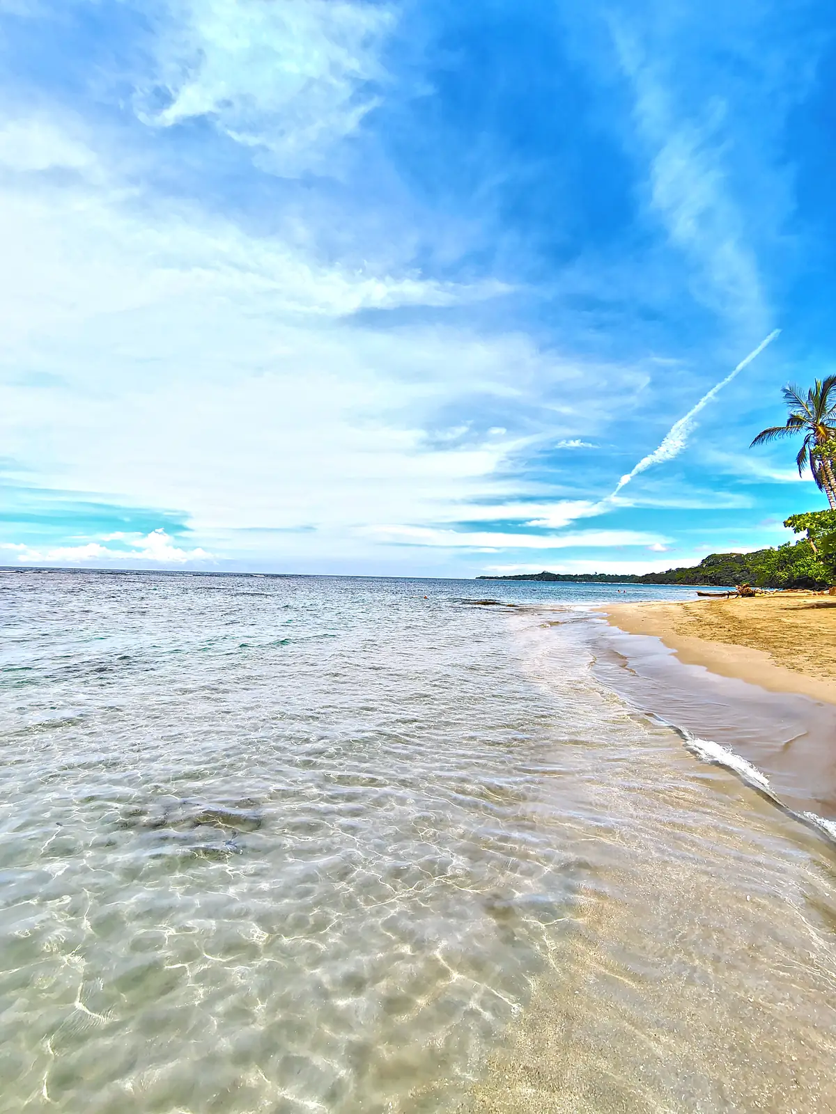
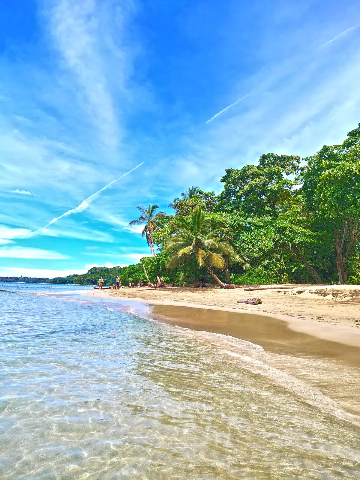
Clear shallow water and a pale sand beach at Playa Chiquita03Top pick

5–6 km south of town

Playa Chiquita

A string of small, reef-sheltered coves. Often almost empty.

Distance
5–6 km S
Water
Calm, reef-sheltered
Lifeguards
None listed
Getting there & what to know
  • On the coast road between Cocles and Punta Uva. Parking is limited and some paths to the sea are unmarked.
  • Calm does not mean risk-free: tide and swell change the cove. Watch children at all times.
  • Few facilities. Bring water, food and shade.
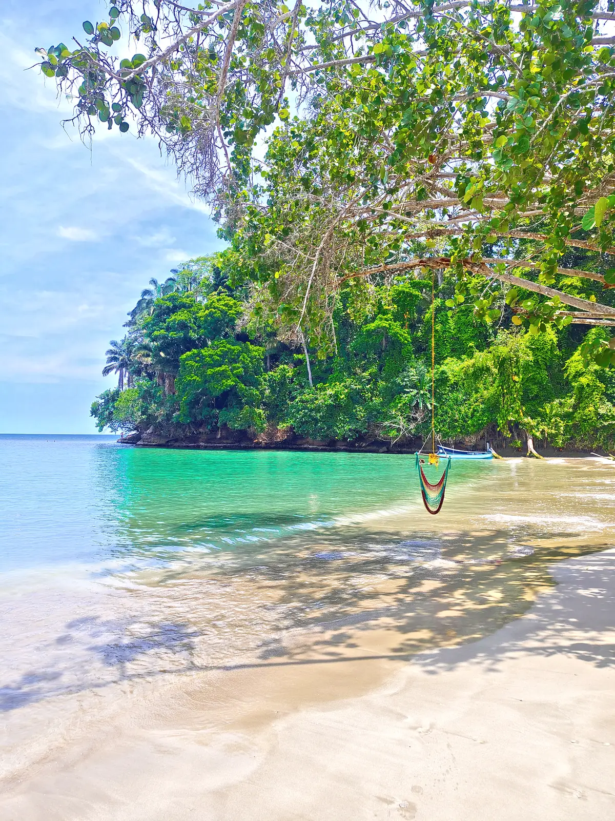
The turquoise cove at Punta Uva, with forest down to the sand04Top pick

8–9 km south of town

Punta Uva

The calm cove with coral close to shore. The usual first choice for swimming.

Distance
8–9 km S
Water
Calm, clear
Lifeguards
None listed
Getting there & what to know
  • By bike on the flat coast road (about 30–40 minutes) or the local bus. Signs mark the beach.
  • Kayak and paddleboard rentals nearby. Playa Grande, past the point, is open and has more surf.
  • For the healthiest reef, go with an accredited guide to Cahuita National Park.
  • Read the Punta Uva guide
Surf along a beach at Manzanillo05Top pick

11–13 km south, end of the road

Manzanillo

Long, quiet beaches at the edge of a wildlife refuge, at the end of the road.

Distance
11–13 km S
Water
Calm days only
Lifeguards
Assigned; hours vary
Getting there & what to know
  • The local MEPE bus runs from town via Cocles, Chiquita and Punta Uva, about 20 minutes. Check the last bus back.
  • Red Cross lifeguards are assigned here. Ask about rip currents before you go in.
  • Read the Manzanillo guide
Side by side

Compare in ten seconds

Dots show fit for each use, from our reading of the sources. They are not safety ratings.

Compare twovs

Best fit Good fit Fair fit Poor fit

CriterionNegra1–1.5 km NCocles2–4 km SChiquita5–6 km SPunta Uva8–9 km SManzanillo11–13 km S
Calm swimmingFair fitStrong currentsBest fitBest fitGood fit
SnorkellingPoor fitPoor fitGood fitBest fitGood fit
Kids & familiesFair fitTake careBest fitBest fitGood fit
SurfGood fitBest fitPoor fitPoor fitPoor fit
QuietFair fitFair fitBest fitGood fitBest fit
Long walksBest fitGood fitFair fitGood fitBest fit
Without a carBest fitBest fitGood fitGood fitFair fit
LifeguardsNone listedAssignedNone listedNone listedAssigned

Filled dots show fit, and each row also says it in words. Conditions change with tide, swell and season: check on the day.

Before you go in

Rip currents are the real risk

Four habits cover most of it. No beach here is safe at every moment.

  1. Look

    Check flags and signs, and who is already swimming.

  2. Ask

    Ask your hotel or a lifeguard what the sea is doing today.

  3. Never alone

    Not alone, not at night, not at unmarked beaches.

  4. If caught

    Stay calm. Swim parallel to shore, then angle back. Wave for help.

Where lifeguards are assigned

Cocles and Manzanillo, under an agreement between the tourism board (ICT) and the Costa Rican Red Cross, renewed in April 2023.

Cocles ✓Manzanillo ✓Playa Negra: none on dutyChiquita, Punta Uva: none listed

Hours and flags change: a lifeguard is a reason to ask, not a guarantee. Reef coves are usually calmer, never certain. The sun is strong all year.

How to escape a rip currentDiagram: a rip current pulls water away from the beach through a gap in the waves. Swim parallel to the shore until you are out of the current, then angle back to land. 1 Swim parallel to the shore 2 Then angle back to land Rip currentpulls out to sea
Swim parallel to the shore, then angle back to land. Guidance from NOAA.
The coast

Beaches in pictures

From Playa Negra to Manzanillo.

Dark sand and a bright sky at Playa Negra
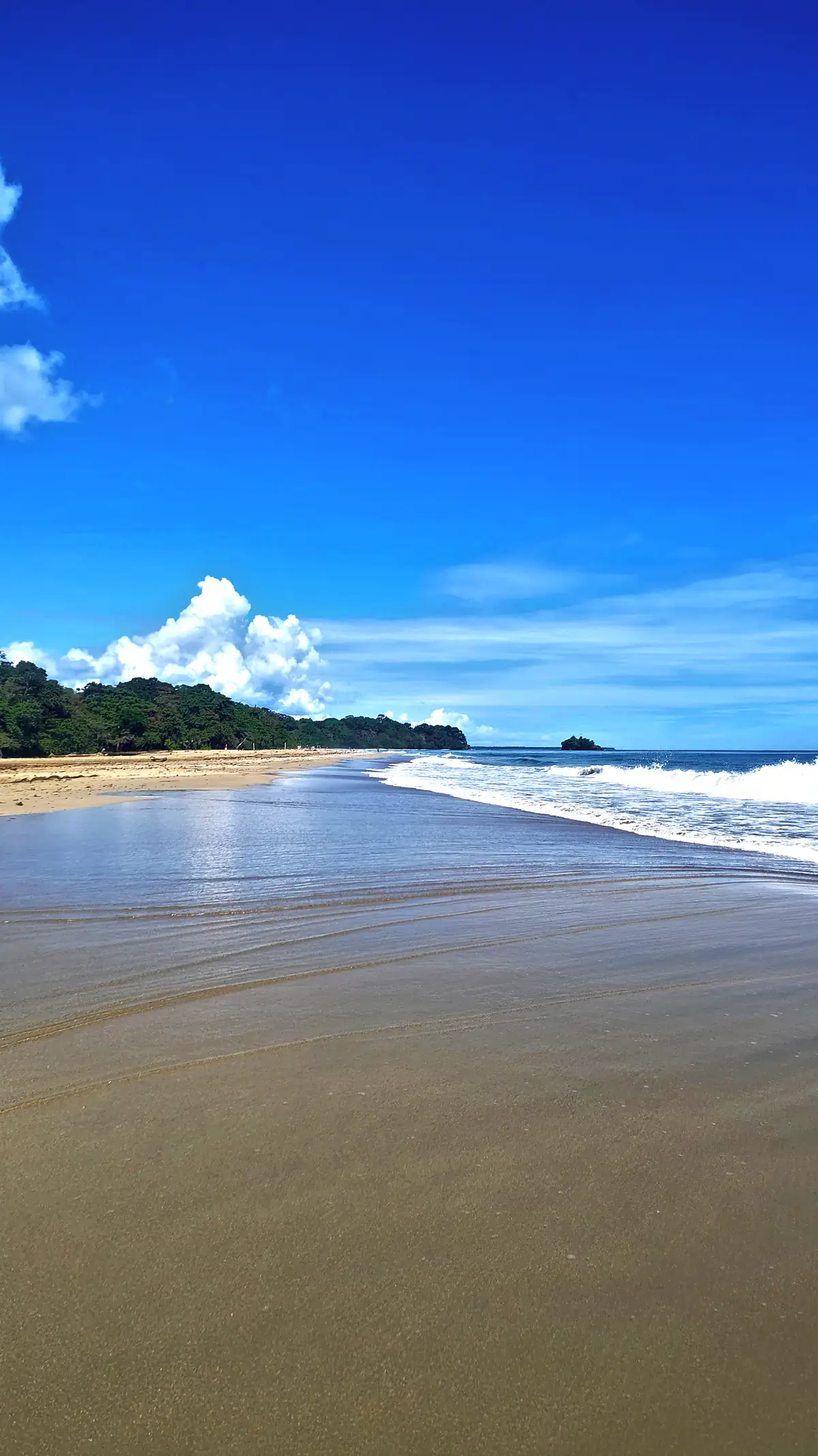
Surf and a small island seen from the sand at Playa Cocles
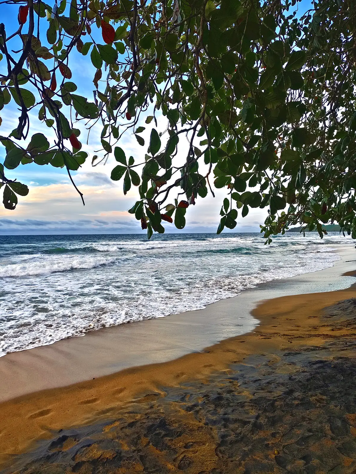
Wet sand and a deep blue sky at Playa Cocles
Clear shallow water and a pale sand beach at Playa Chiquita
Forest meeting the sand along Playa Chiquita
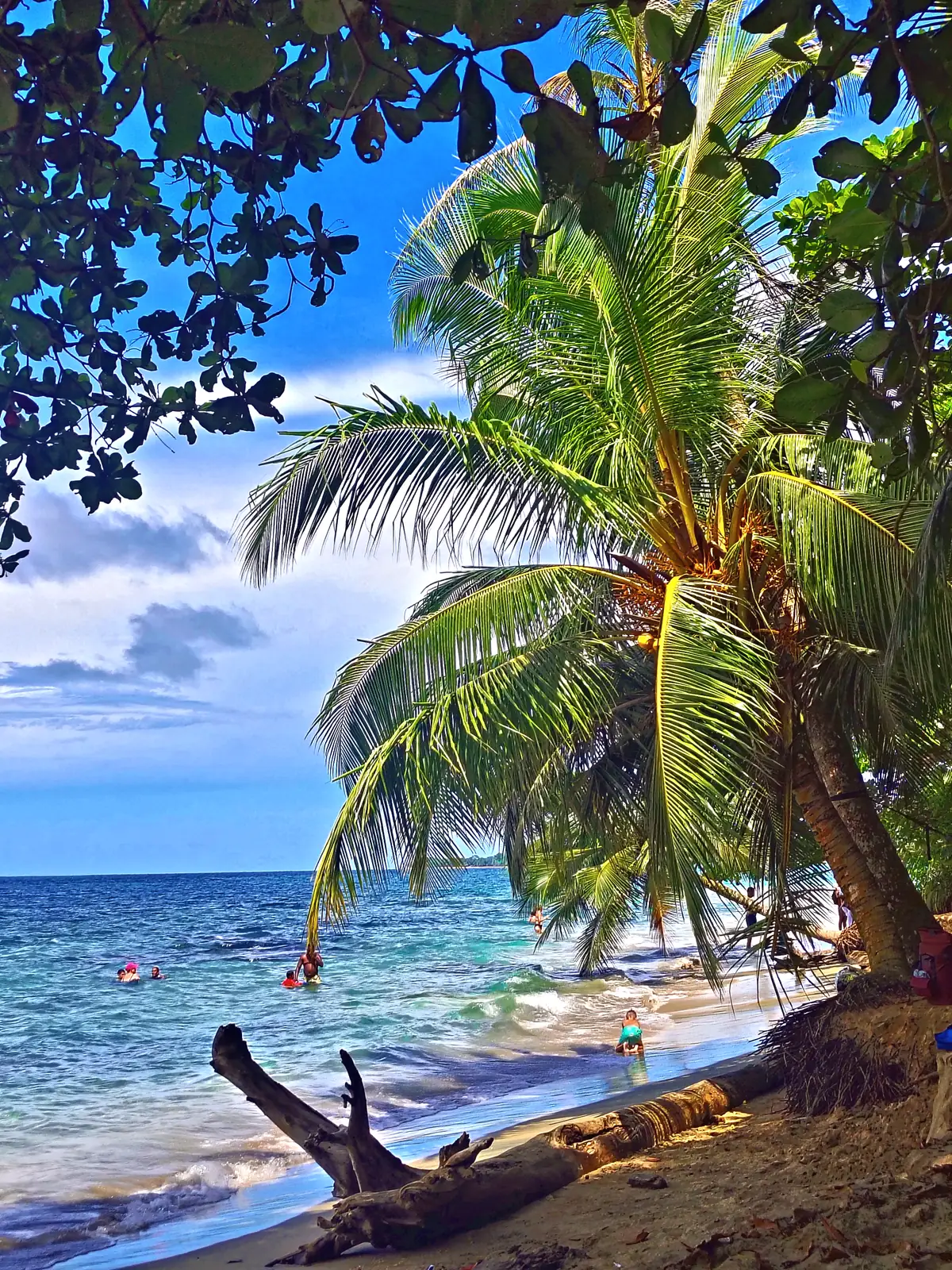
A palm leaning over driftwood and the sea at Playa Chiquita
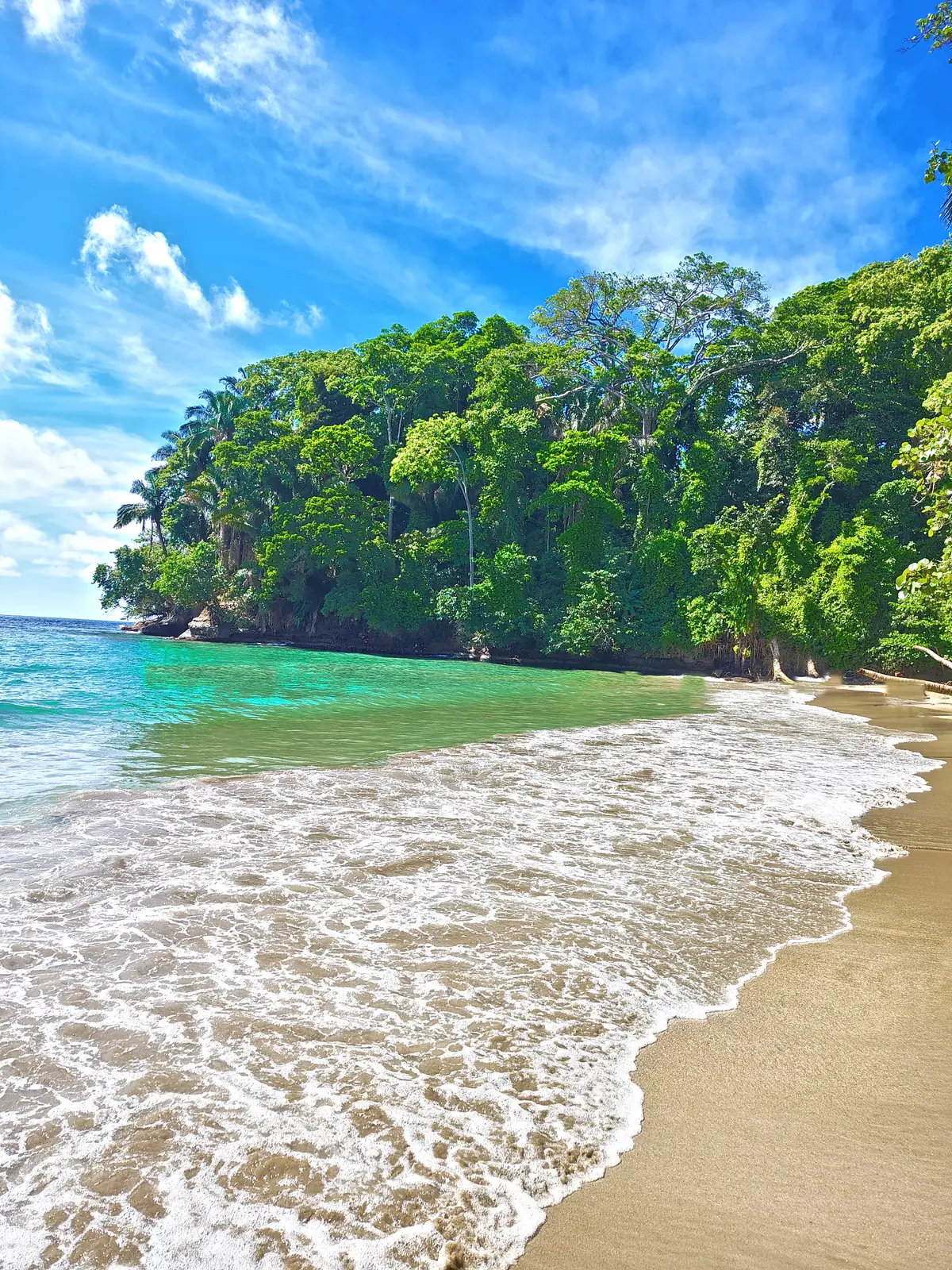
The turquoise cove at Punta Uva, with forest down to the sand
Waves on the beach below a forested headland at Punta Uva
Surf along a beach at Manzanillo

Sources. Lifeguards: El Observador, ICT and Cruz Roja agreement (29 April 2023). Rip currents: NOAA; Government of Canada travel advice. Beach conditions and distances: Costa Rica Vibes; KimKim. Local bus: Puerto Viejo Satellite. Distances and conditions vary by source and change over time.